-
Call: +(91) 84696-08000
-
Email: info@dronelab.in
Drone use case in Surveying and mapping
- Jun 24, 2023
- Dronelab Academy
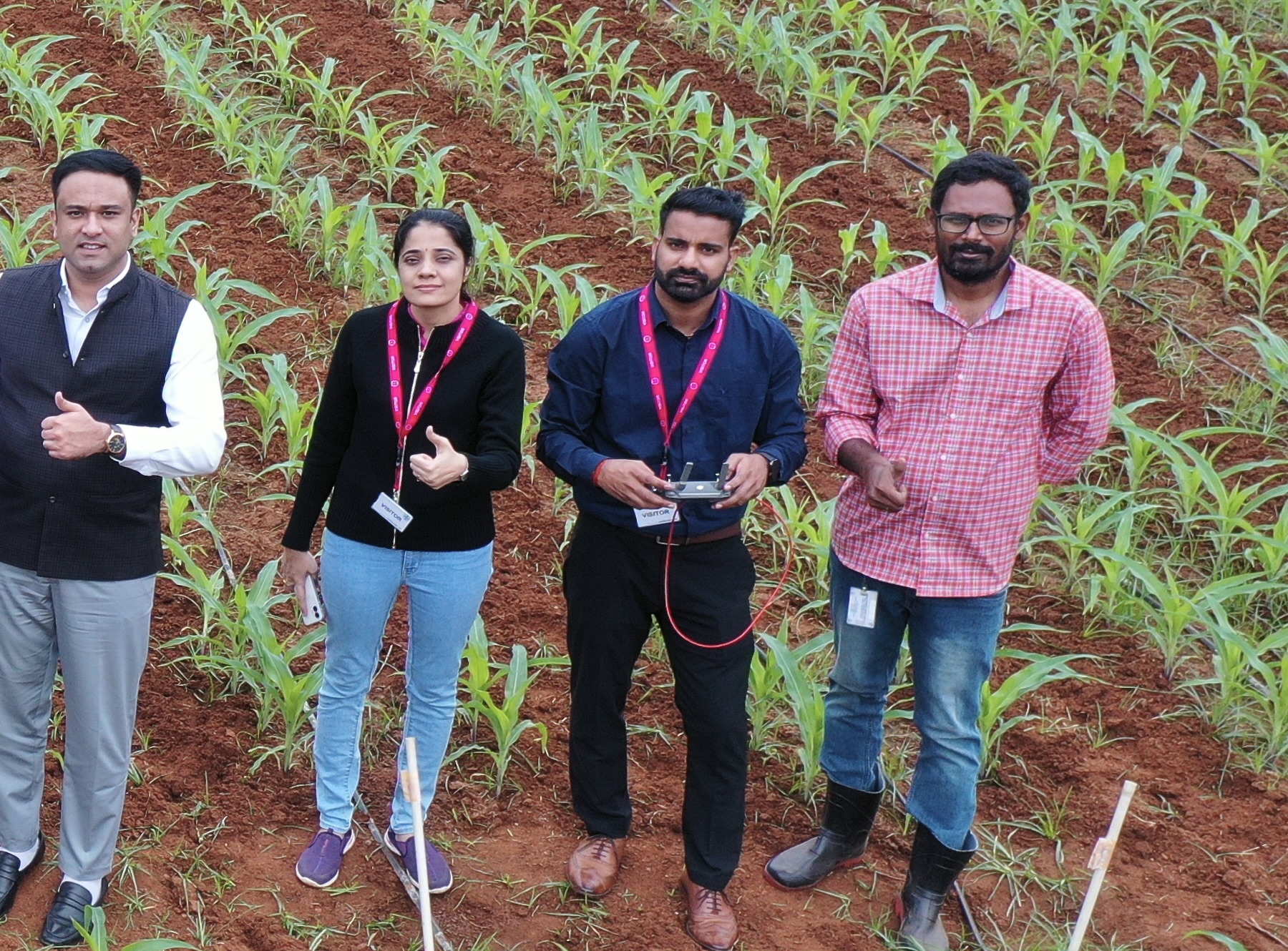
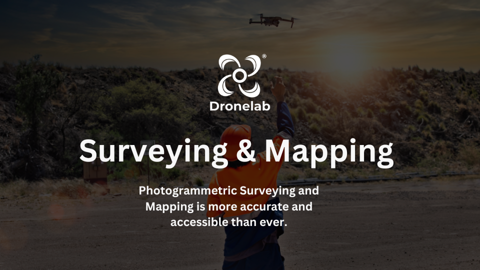
Welcome to our latest newsletter where we dive into the exciting world of drones and their diverse applications in surveying and mapping. Drones have rapidly transformed the way we approach various industries, revolutionizing traditional methods and delivering improved efficiency, accuracy, and cost-effectiveness. In this edition, we explore some of the key use cases where drones are making a significant impact.
Surveying & Mapping:
Drones have become invaluable tools for surveyors and mappers. With their ability to capture high-resolution aerial imagery and collect precise data, they offer a faster and more detailed alternative to traditional surveying methods. Drones enable the creation of accurate topographic maps, digital elevation models, and orthomosaic images, facilitating various applications such as land development, construction, and environmental monitoring.
2. Road Survey:
Drones equipped with advanced sensors and imaging technologies are increasingly being deployed for road surveying. They provide an efficient way to assess road conditions, identify maintenance needs, and plan improvements. By capturing aerial images and generating 3D models, drones can accurately measure road dimensions, detect cracks or potholes, and assess traffic flow patterns, helping authorities make informed decisions for road maintenance and infrastructure development.
3. Forest Survey:
Monitoring and preserving forested areas require extensive data collection, which can be time-consuming and challenging in remote or inaccessible regions. Drones equipped with specialized cameras and sensors enable efficient forest surveys by capturing detailed imagery and collecting data on tree health, species identification, and forest density. This information aids in biodiversity conservation, forest management, and assessing the impact of natural disasters.
4. Mining Survey:
The mining industry benefits immensely from drone technology. Drones equipped with LiDAR or photogrammetry systems can efficiently survey mining sites, measuring stockpiles, calculating volumes, and creating detailed 3D models. By enabling regular and accurate monitoring of mining operations, drones enhance safety, optimize resource management, and streamline planning and production processes.
5. Urban Planning:
Urban planners rely on comprehensive and up-to-date data for effective city development. Drones equipped with high-resolution cameras and thermal imaging sensors offer an efficient solution for capturing aerial imagery, mapping urban areas, and monitoring infrastructure projects. From assessing land use patterns to identifying potential areas for development, drones support urban planning initiatives and facilitate evidence-based decision-making.
6. Railway Survey:
Railway infrastructure requires regular inspection and maintenance to ensure safe and reliable operations. Drones equipped with thermal sensors and high-resolution cameras provide a cost-effective method for assessing railway tracks, identifying structural issues, and monitoring the condition of bridges and tunnels. By detecting potential risks and facilitating proactive maintenance, drones contribute to improved railway safety and efficiency.
7. Archaeological Survey:
Drones have become valuable tools for archaeologists, assisting in the discovery and preservation of historical sites. With their ability to capture high-resolution aerial images and create 3D models, drones facilitate non-intrusive archaeological surveys. By mapping ancient structures, identifying hidden features, and creating detailed digital reconstructions, drones help researchers gain valuable insights into our past while minimizing disturbance to delicate sites.
The applications of drones in surveying and mapping are vast and ever-expanding, offering tremendous opportunities for innovation across industries. As the technology continues to advance, we can expect even more sophisticated applications and increased efficiency in data collection and analysis.