-
Call: +(91) 84696-08000
-
Email: info@dronelab.in
DaaS
Drone as a Services
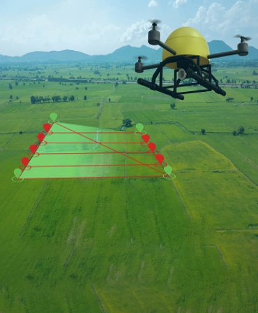
Surveying & Mapping
Photogrammetric Surveying and Mapping is more accurate and accessible than ever.
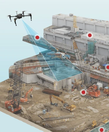
Construction
Track your construction work progress, reduce costs and increase productivity with smarter construction project management.
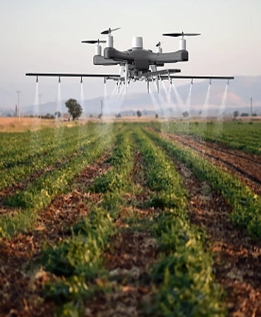
Agriculture
Tackle Agriculture challenges in the field by transferring images into information to maximize operational efficiency.
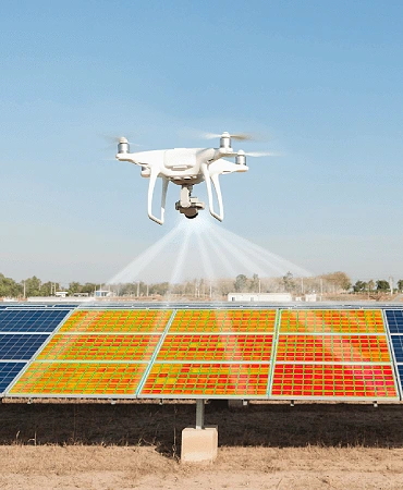
Inspection
Digitization of your infrastructure assets, all the way from maintenance inspections to Governance, Risk management & Compliance.
Surveillance
Real time & accurate insight into security, Remote Area Inspection, Risk Assessment and perimeter control.
Testimonials
Trusted by
More Than 60+ Clients.
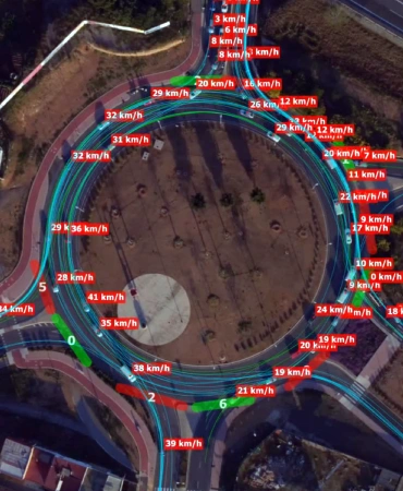
We have been using the services of Dronelab for over 3 years now in our project for traffic monitoring in Ahmedabad. The use of their drones for studying traffic patterns has completely transformed the method of gathering traffic information which was cumbersome, time consuming and with a high error rate.

Mallesh B
Director of Zero-Sum ITS Solutions India Pvt LtdPartnering with dronelab helped us achieve better turn around time with consistent and high quality results. Their team of disciplined, trained and committed members have been the backbone for our success in the market.